An air quality alert has been issued due to wildfire smoke until 9 a.m. on Monday, July 14, for all of Minnesota. Ramsey County is included in “unhealthy."
Soil & Water Conservation
Contact us
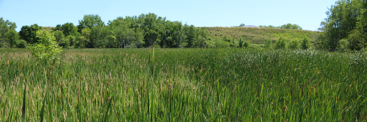
The Soil & Water Conservation division conserves and enhances natural resources in Ramsey County by providing technical, financial and educational support to residents, property owners, and state, local and federal governmental agencies and environmental organizations.
Conservation projects and programs
Conservation projects take place throughout Ramsey County. Learn what projects and programs are taking place in your neighborhood with our interactive map.
Subscribe to conservation news
Programs
Groundwater protection
Groundwater is water located beneath the earth's surface in soil and geologic materials. Groundwater flows through a network of small pores, joints, fractures and solution cavities in underground sediment and rock formations.
Acquatic Invasive Species (AIS)
Aquatic Invasive Species are non-native species that out-compete native species for food and habitat. They often spread rapidly and can have negative ecological and economic impacts on aquatic habitats. The SWCD implements Ramsey County’s AIS prevention program. Examples of AIS program initiatives include educational outreach, planning efforts, AIS monitoring and watercraft inspections. The Aquatic Invasive Species program now has the use of a decontamination unit at boat launches around the county. This decontamination unit is used to treat boats before and after they have been in a water body. The decontamination unit holds up to 500 pounds of water in two tanks. This water then gets pumped and heated to allow a watercraft inspector to spray boats at recommended temperatures and pressures for killing zebra mussels and other invasive species. Remember to Clean, Drain and Dry after exiting infested water.
NATURE program
NATURE aims to improve the natural resources in Ramsey County with projects including rain gardens, shoreline restorations and native plantings. The SWCD provides free technical assistance to residents to capture stormwater and assist in landscape design projects.
Watershed assessment services
The SWCD has completed several comprehensive watershed retrofit analysis studies to identify sites for the installation of water quality improvement projects. Read the brochure (PDF).
Erosion control
Erosion control usually involves creating a physical barrier, such as vegetation or rocks, to absorb energy of the wind or water causing the erosion. Erosion control prevents water pollution and soil loss.
Wetland Conservation Act (WCA)
This service provides protection of wetland sites within Ramsey County and is funded in part through grants from the Board of Water and Soil Resources.
Ob-well monitoring
Several DNR observation wells in Ramsey County are monitored regularly by the SWCD for groundwater levels. The DNR uses this data for an ongoing study.
Rain gauge network
The rain gauge network is made up of volunteer observers who monitor Minnesota's precipitation. Rain gauge volunteers mount a gauge in an open space and record daily precipitation amounts. This data is used to learn about how precipitation affects soil and waterways. Learn more and view the rain gauge data at the Minnesota Climatology Working Group.
To become a Rain Gauger, contact Ann WhiteEagle at 651-266-7271.